


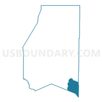
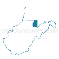
Voting District 33, Preston County, West Virginia
About
Outline

Summary
| Unique Area Identifier | 691696 |
| Name | Voting District 33 |
| County | Preston County |
| State | West Virginia |
| Area (square miles) | 20.54 |
| Land Area (square miles) | 20.53 |
| Water Area (square miles) | 0.01 |
| % of Land Area | 99.93 |
| % of Water Area | 0.07 |
| Latitude of the Internal Point | 39.25273190 |
| Longtitude of the Internal Point | -79.52948260 |
Maps

Graphs
Select a template below for downloading or customizing gragh for Voting District 33, Preston County, West Virginia


Neighbors
Neighoring Voting District (by Name) Neighboring Voting District on the Map
- Voting District 10, Grant County, WV
- Voting District 16, Tucker County, WV
- Voting District 24, Tucker County, WV
- Voting District 31, Preston County, WV
- Voting District 32, Preston County, WV
- Garrett Precinct 08-001, Garrett County, MD
- Garrett Precinct 08-002, Garrett County, MD
Top 10 Neighboring County Subdivision (by Population) Neighboring County Subdivision on the Map
- Fourth district, Preston County, WV (6,175)
- Fifth district, Preston County, WV (5,834)
- Union district, Grant County, WV (3,539)
- District 8, Red House, Garrett County, MD (1,731)
- Fairfax district, Tucker County, WV (836)
- St. George district, Tucker County, WV (787)
Top 10 Neighboring Unified School District (by Population) Neighboring Unified School District on the Map
- Preston County School District, WV (33,520)
- Garrett County Public Schools, MD (30,097)
- Grant County School District, WV (11,937)
- Tucker County School District, WV (7,141)
Top 10 Neighboring State Legislative District Lower Chamber (by Population) Neighboring State Legislative District Lower Chamber on the Map
- State Legislative Subdistrict 1A, MD (39,216)
- State House District 48, WV (19,352)
- State House District 46, WV (18,593)
Top 10 Neighboring State Legislative District Upper Chamber (by Population) Neighboring State Legislative District Upper Chamber on the Map
Top 10 Neighboring 111th Congressional District (by Population) Neighboring 111th Congressional District on the Map
Top 10 Neighboring Census Tract (by Population) Neighboring Census Tract on the Map
- Census Tract 6, Garrett County, MD (6,186)
- Census Tract 7, Garrett County, MD (5,726)
- Census Tract 9642, Preston County, WV (3,878)
- Census Tract 9694, Grant County, WV (3,444)
- Census Tract 9652, Tucker County, WV (1,897)